
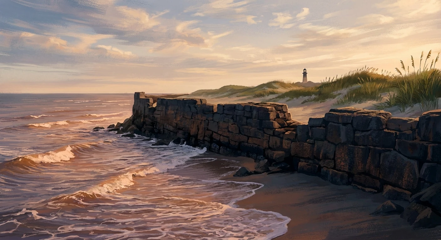
The Raw Truth About Wamberal Beach Erosion
Did you know that wamberal beach erosion is reshaping the local coastline faster than most residents ever imagined possible? As someone who spent their early years near the Black Sea in Ukraine, watching the shores of Odesa face the relentless power of winter storms taught me a massive amount of respect for the ocean. The ocean does not compromise. But seeing the situation at Wamberal in New South Wales, Australia, takes that respect to a completely different level. Entire backyards have been swallowed overnight, leaving homes teetering on the edge of sandy cliffs. The thesis here is simple: we must understand the brutal mechanics of coastal retreat to protect our communities, infrastructure, and natural beauty before the damage becomes irreversible.
It is wild to think about how much sand moves during a severe East Coast Low. People literally go to sleep with a backyard and wake up to a sheer drop-off into the churning surf. This isn’t just an environmental issue; it is a profound human stressor. Right now, in 2026, the situation demands immediate, decisive action rather than the endless bureaucratic debates over seawalls versus natural sand nourishment. We need to look closely at what is failing, why the primary dunes are collapsing, and how coastal management strategies must evolve rapidly to keep pace with an increasingly aggressive climate.
Core Impacts and Community Harms
Look, let me break down exactly what happens when the shoreline gets ripped apart. The harms of this ongoing crisis are massive, hitting both the fragile coastal environment and the local economy right where it hurts. When massive storm swells hit the coast, they scour the sand away, dragging it out to sea and exposing the underlying clay, rock, and foundational pylons of beachfront properties. The value proposition of fixing this disaster is crystal clear. First, securing the coastline saves literally millions of dollars in potential property damage and emergency rescue operations. Second, it preserves the vital local tourism industry which relies entirely on the presence of a pristine, accessible sandy beach.
If the beach disappears, the surfers go elsewhere, the cafes empty out, and the unique coastal lifestyle that defines the area vanishes. To really grasp the timeline of destruction, just look at the historical data regarding major weather events and their direct impact on the local shoreline.
| Decade / Year | Major Weather Event | Coastal Impact Level |
|---|---|---|
| 1970s (1974 & 1978) | Devastating East Coast Lows | Severe property threat, total loss of primary vegetation dunes. |
| 2020 | Massive July Winter Storm | Millions in damage, emergency evacuations, homes at risk of imminent collapse. |
| 2026 | Unseasonal Autumn Swells | Ongoing structural instability, urgent seawall construction debates finalized. |
Beyond the structural damage, here are three core ways this ongoing crisis devastates the local community:
- Property destruction and financial ruin: Homes perched on the dunes face the very real, direct threat of sliding into the ocean, erasing generational wealth and leaving residents homeless.
- Economic downturn for local businesses: Local cafes, restaurants, and surf shops lose massive amounts of daily foot traffic when the beach is closed, fenced off, or simply deemed too unsafe for families to visit.
- Severe ecological damage: The natural nesting grounds for local marine life and native shorebirds vanish completely when the primary and secondary dunes are brutally scoured away by surging tides.
Walking along the scarred beach, navigating around massive emergency rock bags and ugly geofabric sandbags, you really feel the heavy toll this takes on the community’s spirit.
The Origins of the Coastal Conflict
The story of this coastline is one of dynamic natural shifts clashing violently with rigid human settlement. Historically, the area was incredibly dynamic, with sand shifting naturally back and forth depending on the season and prevailing wind patterns. Indigenous communities understood this ebb and flow, interacting with the coast in ways that respected its fluid nature. However, early European settlement introduced a rigid grid. Planners and developers began building permanent, immovable structures far too close to the active beach zone. They built on top of the frontal dunes, fundamentally disrupting the natural buffer system that allows a beach to absorb wave energy. Once you pave over a dune, it can no longer replenish the beach during a storm.
Evolution of Storm Patterns
As the decades rolled on, the weather patterns began to shift. The infamous storms of 1974 and 1978 served as a massive wake-up call, ripping away huge chunks of the coastline and threatening houses for the first time in modern memory. These massive East Coast Lows operate like localized hurricanes, generating enormous wave fetch across the Tasman Sea. Over the past twenty years, the frequency and intensity of these storm surges seem to have escalated. The ocean doesn’t just bite at the sand anymore; it takes massive, greedy chunks out of the shoreline, pulling the sediment so far offshore that normal summer swells simply cannot push it back onto the beach.
The Modern State of the Coastline
Fast forward to the present day, and the beach often resembles a construction site or a war zone against nature. You see temporary rock bags, giant concrete blocks, and desperate attempts at emergency landscaping. The community is heavily divided between those who want a massive, continuous seawall to protect private property and those who fear that a hard wall will permanently destroy the sandy beach for the public. It is a highly emotional, high-stakes standoff where every new weather warning sends ripples of anxiety through the neighborhood.
The Mechanics of Wave Energy
To truly grasp what is happening, you need to understand the physics of the ocean. When waves travel across the deep ocean, they carry immense kinetic energy. As they approach the shallower waters of the coast, friction slows the bottom of the wave, causing the top to crest and break. Normally, a sloping sandy beach acts as a shock absorber. The wave energy dissipates as the water rushes up the slope. But when the beach profile is steepened by previous storms, or when high tides combine with low atmospheric pressure (creating a storm surge), the waves slam directly into the soft dune scarp. This hydraulic pounding physically undercuts the sand, causing massive blocks of the dune to collapse into the surf, taking whatever is on top of them—fences, decks, or living rooms—down with it.
Longshore Drift and Sand Starvation
Another crucial scientific factor is longshore drift. This is the process where waves hitting the coast at an angle transport sand parallel to the shore. Think of it as a massive, underwater river of sand. If something interrupts this flow, or if the sand is pulled too far out beyond the “closure depth,” the beach becomes starved. It simply cannot rebuild itself. Let’s look at a few undeniable scientific facts driving this:
- Wave Fetch: The uninterrupted distance wind blows over water. For this specific coastline, the fetch can stretch thousands of kilometers across the Tasman Sea, generating terrifyingly powerful swells.
- The Bruun Rule: A widely accepted coastal engineering principle stating that for every centimeter of sea-level rise, the shoreline will retreat landward by a magnitude roughly 50 to 100 times that amount as the beach attempts to maintain its equilibrium profile.
- Closed Sand Compartments: This beach operates within a relatively closed system. Once the sand is dragged past a certain offshore depth by vicious undertows, the normal, gentler waves lack the power to push it back up onto the berm.
Day 1: Aggressive Community Education
The first step in any genuine coastal resilience plan is getting everyone on the same page. You cannot fight the ocean if the community is fighting itself. Day one requires open, transparent town hall meetings where coastal engineers explain the brutal reality of wave dynamics. No jargon, just straight facts about what the ocean is doing and what will happen if nothing is done. Homeowners, renters, and local business operators all need to understand the stakes.
Day 2: Mapping the Hazard Zones
You need to know exactly where the weakest links are. Day two involves deploying drones and using high-resolution LiDAR data to map the entire coastline. This creates a highly accurate, 3D model of the current beach profile. Authorities must clearly delineate the immediate hazard lines, showing precisely which properties are at risk of collapsing within the next 12 to 24 months if another severe weather event strikes. This data removes the guesswork and the emotion, replacing it with hard, actionable geometry.
Day 3: Implementing Emergency Sandbagging
Before you can build a long-term solution, you have to stop the bleeding. Day three is all about rapid deployment of temporary defenses. This means bringing in massive, geotextile sandbags. These aren’t the little bags you get at a hardware store; these are multi-ton mega-bags filled with imported sand. Placed strategically at the toe of the collapsing dunes, they absorb the immediate shock of incoming waves, buying crucial time for permanent engineering solutions to be designed and funded.
Day 4: Evaluating Hard Coastal Engineering
This is where the tough decisions are made. Day four is dedicated to evaluating hard structures like rock revetments and concrete seawalls. Engineers must design a structure that is robust enough to stop a fifty-year storm, yet angled correctly so it doesn’t just bounce wave energy downward and scour away all the remaining sand. You have to calculate the exact size of the armor stone required and determine how deep the toe of the wall needs to be buried into the bedrock to prevent undercutting.
Day 5: Exploring Massive Beach Nourishment
A seawall alone is not enough; it just protects the land behind it. If you want a beach, you need sand. Day five focuses on beach nourishment. This involves bringing in offshore dredges to pump hundreds of thousands of cubic meters of fresh, compatible sand back onto the beach. It is incredibly expensive, and it has to be repeated every few years, but it is the only way to maintain a recreational beach in front of a hard defense structure.
Day 6: Funding and Legislation Navigation
None of the previous steps matter if you cannot pay for them. Day six tackles the absolute nightmare of coastal funding. Who pays? The state government? The local council? The beachfront property owners who directly benefit? This step requires setting up special legislative funding models, securing state grants, and possibly instituting special council rates to generate the tens of millions of dollars required for a permanent fix.
Day 7: Continuous Long-Term Monitoring
The ocean never stops, so the plan can never truly end. Day seven establishes a permanent, automated monitoring network. This means installing wave buoys offshore to track swell size, using satellite imagery to measure sand volumes weekly, and having dedicated coastal managers constantly tweaking the strategy based on real-time data. You have to adapt constantly as the climate shifts.
Myths vs. Reality on the Coastline
There is a massive amount of misinformation floating around when it comes to coastal management. Let’s clear up some of the most dangerous misconceptions right now.
Myth: Building a giant seawall solves the problem permanently and saves the beach.
Reality: A seawall protects the private property behind it, but it often destroys the beach in front of it. Hard, vertical structures reflect wave energy downward, violently scouring the sand away and permanently starving the active beach zone. You save the house, but you often lose the beach entirely.
Myth: It is just a natural, repeating cycle, and the sand always comes back eventually.
Reality: While it is true that sand moves offshore in winter and onshore in summer, the baseline is shifting. With rising sea levels and increasingly intense storm systems, more sand is being dragged past the point of no return. It doesn’t all come back.
Myth: Only the wealthy beachfront homeowners need to worry about this issue.
Reality: When a primary dune fails, it threatens public roads, essential water and sewer lines, and local tourism revenue. The financial fallout impacts every single taxpayer in the region.
What directly causes the shoreline to retreat here?
The retreat is caused by a brutal combination of high-energy East Coast Low storm systems, naturally occurring longshore drift that removes sand, and the historical mistake of building rigid infrastructure directly on top of dynamic, shifting frontal sand dunes.
How much actual land was lost in the recent severe storms?
During the catastrophic events of 2020 and subsequent years, some properties lost up to 10 to 15 meters of their backyards in a matter of days. Entire stretches of the protective dune system were completely wiped off the map.
Will building a seawall completely ruin the beach?
If designed poorly as a sheer vertical wall, yes, it will likely scour away the remaining sand. If designed properly as a sloped rock revetment and combined with massive, ongoing sand nourishment programs, a usable beach can be maintained at lower tides.
Can artificial offshore reefs help stop the waves?
Yes, offshore artificial surfing reefs or breakwaters can theoretically trip the waves before they reach the shore, reducing their kinetic energy. However, they are astronomically expensive to construct and require complex environmental impact studies.
Who is actually responsible for paying for the coastal defense?
This is the most hotly debated topic. Generally, it requires a tripartite funding model where the state government, the local council, and the direct beachfront beneficiaries split the massive construction costs.
Is it completely safe to swim during recovery periods?
Swimmers should exercise extreme caution. Following major coastal scours, hidden debris, submerged fences, and dangerously altered rip currents make the water highly hazardous. Always swim between the red and yellow flags.
What exactly is artificial beach nourishment?
Beach nourishment is the mechanical process of dredging large volumes of sand from deep offshore reserves or river mouths and pumping it directly onto the starved beach to manually widen the shoreline and create a buffer.
Dealing with the reality of wamberal beach erosion is not for the faint of heart. It requires looking at hard scientific data, making incredibly difficult financial compromises, and acting with extreme urgency. As we push through 2026, we can no longer afford to delay decisions while the ocean literally bites away at our doorsteps. The time for endless debate is over. If you found this breakdown insightful, please share it with your community groups, attend your local council meetings, and demand transparent, actionable coastal management plans. The ocean isn’t waiting, and neither should we.