
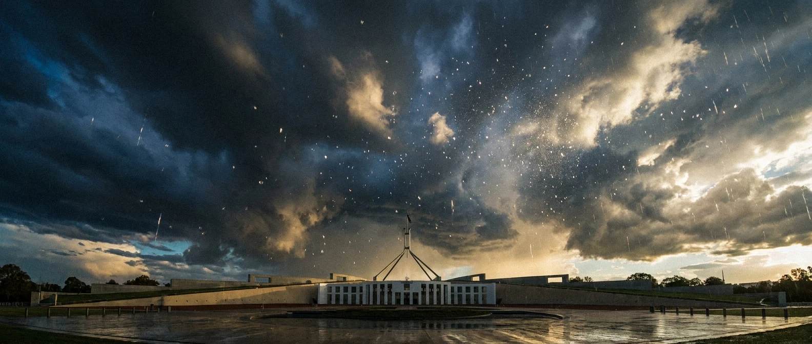
Surviving a Canberra Hail Storm: What You Need to Know
Have you ever experienced a real canberra hail storm, where the sky turns a sickening shade of bruised green and the ice falls like heavy golf balls from the heavens? If you were anywhere near the capital during those notorious summer freak events, you know exactly the sheer panic I am talking about. One minute you are enjoying a sunny afternoon barbecue out in Tuggeranong or grabbing a coffee in Braddon, and the next, you are sprinting to throw blankets over your car windshield. These extreme weather events are getting wilder, and frankly, sitting around hoping it misses your suburb just is not a viable strategy anymore. Now that we are navigating through the unpredictable climate patterns of 2026, being thoroughly prepared is absolutely essential.
I still vividly remember the chaotic aftermath of previous storms in my own neighborhood. Smashed windscreens lining the streets, shattered skylights, and garden beds completely pulverized by ice chunks the size of cricket balls. The sound alone is something you never forget—a deafening, relentless roar like gravel being dumped onto an endless tin roof. We desperately need a solid strategy because when the sky darkens and the temperature suddenly drops, you only have minutes to react. This guide is all about giving you that critical head start to protect your property, your family, and your sanity.
Understanding the True Impact: Property, Harm, and How to Protect Yourself
Let me break down what actually happens when you get caught out unprepared. The harm caused by a massive deluge of ice is entirely indiscriminate. Your vehicle is usually the first casualty. Modern car panels are incredibly thin, designed for fuel efficiency and pedestrian safety, which means they fold like wet paper under the impact of solid ice. Then comes your home—solar panels crack, gutters overflow with melted ice blocks, and outdoor furniture gets smashed to pieces.
But the benefit of getting your life sorted before the sirens go off is massive. We are talking about saving yourself thousands of dollars in excess fees, avoiding months of waiting for overwhelmed panel beaters, and having pure peace of mind. Here is a clear breakdown of what you are dealing with based on the size of the stones dropping from the sky.
| Hail Size | Expected Damage Level | Immediate Prep Action |
|---|---|---|
| Pea-sized (up to 1cm) | Minimal. Some leaf stripping in gardens. | Bring small pets indoors. Cover delicate plants. |
| Golf Ball (up to 4.5cm) | Severe. Dented cars, cracked older roof tiles. | Move cars under solid cover. Close all heavy blinds. |
| Cricket Ball (up to 7cm+) | Catastrophic. Smashed windscreens, structural roof damage. | Stay away from windows. Do not go outside under any circumstances. |
If you want to dodge the worst of the chaos, you need to act fast. Here are the core steps to evaluate your readiness right now:
- Assess your shelter options: Figure out exactly how long it takes to move your vehicles into a garage or under a sturdy carport. If you lack a garage, scout nearby public undercover parking areas.
- Check your home’s vulnerability: Walk around your house and look for fragile skylights, aging polycarbonate pergolas, and clear plastic roofing that will absolutely shatter.
- Review your insurance product disclosure statement: Do not assume you are covered. Check if ‘storm and hail damage’ is explicitly listed, and note exactly what your excess will cost.
The History: Why the Capital Gets Battered
Origins of Canberra’s Unique Weather Patterns
You might wonder why we seem to get hit so heavily compared to the coast. It mostly comes down to our geography. The city sits nestled in a valley, bordered by the magnificent Brindabella ranges to the west. During the blistering heat of summer, the mountains heat up differently than the valley floor. When a cold front moves through from the Southern Ocean and hits this hot, elevated air, the Brindabellas act like a giant atmospheric ramp. They launch that unstable air violently upward, creating the perfect nursery for massive storms. This topographic reality has dictated local weather for millennia, long before the lake was even built.
Evolution of Supercell Storms Over the Decades
If you talk to the older locals, they will tell you the storms used to feel different. Back in the 80s and 90s, we certainly got our fair share of wild weather, but the intensity has sharply escalated. The famous January 2020 event fundamentally changed how residents view summer storms. In a matter of 15 minutes, entire suburbs were blanketed in thick white ice, causing roughly a billion dollars in insured losses. Over the decades, the energy available in the atmosphere has increased. Warmer surface temperatures mean more moisture evaporates, feeding these beastly weather systems and allowing the updrafts to keep the ice suspended for much longer.
The Modern State of Hail Prediction in 2026
Thankfully, our tech has caught up immensely. Gone are the days of looking out the window and guessing. In 2026, meteorologists use hyper-localized doppler radar networks and advanced predictive algorithms that can practically tell you which side of the street is going to get hit hardest. Early warning SMS systems give us crucial extra minutes. However, even with the best tech in your pocket, predicting the exact trajectory of a highly volatile supercell remains incredibly tricky because they can shift paths rapidly based on micro-climates within the city limits.
The Science of Ice Falling From the Sky
The Anatomy of a Supercell
To truly respect what you are dealing with, you need to understand the beast itself. A supercell is not your average rain cloud; it is a towering, rotating monster of a storm. Inside this massive structure, you have something called an ‘updraft’—a vicious, invisible elevator of hot air rocketing vertically at speeds that can easily exceed 150 kilometers per hour. When water droplets get caught in this elevator, they are blasted way up past the freezing level of the atmosphere. The stronger the updraft, the longer the ice stays airborne, and the larger it grows before gravity finally wins.
Ice Nucleation Explained Simply
Water high up in the atmosphere doesn’t just instantly freeze into a neat little cube. It requires a starting point, a process called nucleation. Up there, water can remain liquid even below zero degrees—this is called supercooled water. It flies around until it bumps into a tiny speck of dust, an aerosol particle, or even smoke from summer bushfires. The moment it hits that particle, it flashes into solid ice. Then, as it gets tossed up and down inside the storm cloud, it constantly collides with more supercooled water, adding layer upon layer of ice like a jawbreaker candy.
- Updraft Speeds: They must reach at least 100 km/h to support a hailstone the size of a golf ball.
- Freezing Level: The critical altitude where the air temperature hits zero degrees; lowering this level increases the chance of ice reaching the ground intact.
- Layering Effect: If you cut a large hailstone in half, you will see distinct concentric rings, proving how many times it was thrown up and down inside the storm cloud.
- Terminal Velocity: Large chunks of ice can fall from the sky at speeds surpassing 120 km/h, turning them into deadly projectiles.
Your 7-Day Survival and Prep Plan
Do not wait until the radar turns deep purple and red. You need an actionable strategy right now. Here is a simple, no-nonsense 7-day plan you can tackle this week to ensure you are totally locked down.
Day 1: Audit Your Roof and Gutters
Get up there, or pay someone else to do it. You are looking for any existing cracked tiles or rusty iron sheets. A roof that is already compromised will fail completely under an ice barrage. Clean out every single gutter and downpipe. When thousands of tiny ice balls melt, the resulting water volume is immense. If your gutters are blocked by leaves, that water will flow straight back into your ceiling cavity, ruining your plasterboard.
Day 2: Review Insurance Policies
Grab your paperwork and actually read the fine print. Make absolutely sure your comprehensive car insurance covers hail damage without writing the vehicle off for minor cosmetic dents. For your house, verify that glass replacement and roof repairs are fully covered, and check if you have a massive excess fee hidden in the details. Update your coverage if it falls short.
Day 3: Create a Safe Parking Strategy
If you have a garage, spend a few hours clearing out the junk so you can actually fit your cars inside. If you only have street parking, locate the nearest undercover spaces. Are there shopping center car parks nearby? A local petrol station? Map out a route so you know exactly where to flee when the alerts sound.
Day 4: Assemble an Emergency Kit
Power outages are heavily tied to these severe storms. Put together a basic kit: heavy-duty flashlights, fresh batteries, a battery-powered radio to catch emergency broadcasts, a first aid kit, and some heavy work gloves. The gloves are crucial for safely clearing broken glass from shattered windows later.
Day 5: Set Up Weather Alerts
Your smartphone is your best defense. Download the official Bureau of Meteorology app and turn on push notifications for severe thunderstorm warnings. Do not rely entirely on social media feeds, as algorithms can delay the post visibility by hours. You need real-time, direct alerts.
Day 6: Secure Outdoor Furniture
Walk around your backyard. Those heavy glass patio tables? They will shatter into a million dangerous shards. The flimsy plastic chairs? They will become flying debris. Either move your delicate outdoor furniture under a solid roof or buy heavy-duty padded protective covers to strap over them.
Day 7: Run a Household Drill
It sounds silly, but do a quick practice run with your family. Ensure everyone knows where to go in the house away from big windows. Pick a central hallway or a bathroom as your safe zone. Show your kids where the emergency kit is located so there is zero panic when the real thing hits.
Separating Myth from Reality
There is so much terrible advice passed around the pub when it comes to extreme weather. Let us clear up some dangerous misconceptions.
Myth: Taping an ‘X’ over your glass windows will stop them from shattering.
Reality: Taping windows does absolutely nothing to strengthen the glass against blunt force impacts. All it does is hold the massive shards together slightly, creating larger, deadlier pieces of falling glass. Just close your heavy blinds and stay away.
Myth: Normal car covers are perfectly fine to protect your vehicle.
Reality: A standard thin fabric car cover only protects against dust and UV rays. If you want real protection, you need specially designed, thick padded hail blankets. Even then, they might only protect against smaller stones.
Myth: Parking under a large tree is a safe bet.
Reality: Trees are incredibly dangerous during severe supercells. The heavy wind and sheer weight of the ice often cause massive branches to snap and crush whatever is underneath. Always choose man-made solid structures.
Frequently Asked Questions
How long does a severe storm usually last?
The actual ice-falling phase of a supercell is surprisingly brief, usually lasting anywhere from 5 to 15 minutes. However, the accompanying heavy rain, lightning, and destructive winds can easily persist for over an hour.
What size of ice causes major roof damage?
Generally, anything larger than a golf ball (around 4.5cm) carries enough kinetic energy to crack standard terracotta tiles and significantly dent metal roofing. At cricket ball size, catastrophic structural damage is practically guaranteed.
Is it safe to drive while it is hailing?
Absolutely not. Visibility instantly drops to zero, the roads become incredibly slick with accumulated ice, and your windshield can cave in right in front of your face. Pull over safely, preferably under a bridge or awning, and stay inside the vehicle.
Why does the sky often turn a creepy green color?
That eerie green hue happens because the massive volume of water and dense ice suspended high in the storm cloud filters out the red and blue light from the late afternoon sun, scattering mostly green wavelengths down to your eyes. It is a massive warning sign.
Does home insurance automatically cover the damage?
Most standard policies do cover storm damage, but you have to be careful with the specifics regarding water entry. If ice blocks your gutters and causes an overflow leak, some strict policies might try to dispute the claim if your gutters were poorly maintained.
How fast do the stones actually fall?
Small stones fall at about 30 to 40 km/h, but the massive, destructive ones can plummet at speeds exceeding 120 km/h. That is the equivalent of someone pitching a cricket ball directly at your head from a speeding car.
Can these storms happen in the middle of the night?
While they are most common in the late afternoon and early evening after the sun has maximized the ground heat, they absolutely can occur at night if the upper atmosphere is unstable enough. Nighttime storms are exceptionally dangerous because you cannot easily see the approaching shelf cloud.
Wrapping It All Up
Navigating the sheer intensity of a canberra hail storm requires respect for the weather and proactive preparation. We cannot control the sky, but we can completely control our reaction to it. By locking down your insurance, figuring out your parking strategy, and understanding the science behind the supercells, you put yourself miles ahead of the panic. Do not wait for the green sky. Share this survival guide with your mates, get your property sorted this weekend, and stay incredibly safe out there!